Alice James, Technical Director (HistoricEnvironment), Lanpro, looks at the decarbonising tech advances in development-led archaeology and how this can reduce the potential cost and risk for housebuilders in the planning phase.

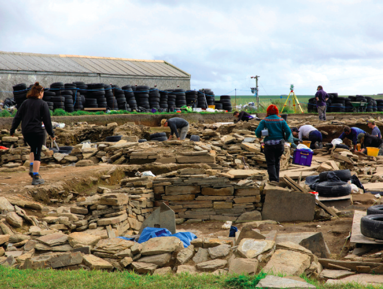
Development-led archaeology plays a vital role in helping communities to record and understand their shared cultural heritage, while also providing developers with the information necessary to reduce the risk and cost that can occur following the unearthing of unanticipated items of archaeological significance.
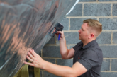
But the archaeology profession doesn’t just look to the past. It is at the forefront of technological innovation – utilising new, non-intrusive and technology to minimise the need for destructive archaeological trenching and excavation which previously required heavy diesel-powered plant. Such innovations not only streamline the archaeological process, creating efficiencies in time and cost, but can also contribute significantly to the decarbonisation of archaeological schemes and, with them, that of many housing developments.
The Chartered Institute for Archaeologists (CIfA) is the leading professional body representing archaeologists across the UK and has identified a range of actions needed to reduce the profession’s carbon output. In its guidance on carbon reduction, the CIfA has been looking to promote ‘minimal impact’ groundwork on sites, such as through utilising more non-intrusive archaeological techniques (desk-based work, surveying) to reduce the quantity of excavation.
Geophysical surveys have for many years been one of archaeologists’ key tools. Recent advances in technology have, however, greatly improved the quality and speed at which data can be collected, reducing costs and allowing developers to rapidly understand the archaeological potential of their development sites.
Magnetic geophysical surveys are now completed using multiple sensors systems, which locate collected data using. This means that the initial archaeological potential of sites can be assessed at the earliest stage, speeding up the delivery of archaeological evaluation works required to support a planning application and, where appropriate, providing essential information to aid the formation of a scheme design.
 The cost savings resulting from the use of drones and increases in the resolution of digital imagery has enabled archaeologists to collate high-quality aerial imagery rapidly and cost-effectively, allowing for a greater potential for cropmark features – caused by buried features that affect the growth of crops growing above them – to be detected.
Drones can also now be employed to undertake multispectral imaging. This technique has previously been used in an agricultural context to understand crop health and land drainage but it is increasingly used to record potential archaeological remains. Through the manipulation of the wavelengths captured by multi-spectral imaging, buried archaeological features that would not otherwise be visible on conventional images can be identified, making this a valuable tool.
GIS-led approaches to the assessment of baseline data have also enabled us to achieve a much greater understanding of a site’s archaeological potential at an early stage, through rapidly analysing and comparing multiple data sets, such as aerial imagery, topographic and geological data and historical mapping. Light Detection and Ranging (LiDAR) data sets, available through the Defra Data Services Platform, can help to identify surviving surface remains, such as earthworks; while the recent publication of Historic England’s National Mapping Programme data has made aerial plots of archaeological features easily accessible for much of England. This combination of sources allows us to analyse and compare multiple data sets efficiently and identify areas where archaeological remains are likely to be present.
All too often overlooked, collaboration with other environmental disciplines can also be an effective way to reduce the need for intrusive archaeological works through sharing resources and data sets.
For example, ecological constraints and utility information can reduce the area within a site that needs to be archaeologically investigated, while the results of geotechnical ground investigations can feed into deposit models to aid our understanding of the potential for buried archaeological deposits. Technological innovation has given us the tools to reduce ground disturbance from archaeological works, by providing a growing body of non-intrusive techniques to help determine a development site’s archaeological potential and reduce the cost and risk to developers. This provides an opportunity to take a vital step towards decarbonising archaeological works and find a smarter approach to understanding the archaeological potential of a site.